March can give you a surprisingly large daylight window in southern Europe, but the route headline often hides the real problem. Madeira’s official PR6 walk is listed as 4.3 kilometres one way, yet the actual return distance is 8.6 kilometres. That is the difference between a relaxed afternoon and a late finish in wet forest.
The safest March walks are not always the shortest ones. They have a clear start point, a reliable return option, modest exposure, and enough daylight left for a slow walker, a wrong turn, or a delayed bus. The figures below are planning estimates, not guarantees. Check the official trail status and the local forecast on the morning of your walk.
How do you plan a walk that ends before dusk?
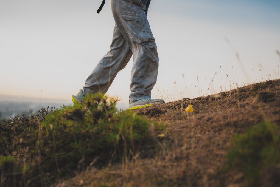
The basic calculation is simple: take the official walking time, add at least 50 percent for stops and slow ground, then add another hour for transport or route uncertainty. A trail that claims two hours should not be scheduled as a two-hour activity. That approach looks efficient on paper and fails as soon as someone takes photographs, misses a marker, or walks through mud.
- Choose a hard turnaround time. Set a point where you stop extending the walk, even if the viewpoint is close. For a March route in southern Europe, 15:00 is a useful default turnaround for a three-hour walk. In northern or mountainous areas, make it earlier.
- Work backward from the finish. Decide when you want to be back at a village, bus stop or railway station. Leave at least 60 minutes between the planned route finish and sunset. Civil twilight lasts after sunset, but that remaining light is not a substitute for a proper safety margin.
- Use the slowest person’s pace. A group moving at 2.5 kilometres per hour needs far longer than a guidebook estimate based on 4 kilometres per hour. Count photo stops, snack breaks and steep steps.
- Check the return connection before leaving. On a point-to-point walk, the last train or bus is part of the route. Save the timetable offline. If the next service is two hours later, the walk does not really finish when you reach the station.
- Keep a weather exit. Mark one shorter alternative that returns to a road or settlement. On Madeira, heavy rain can turn levada paths into slick channels. In the Tramuntana, wet limestone and stone stairways slow every person in the group.
- Confirm access on the day. A route can be technically open but unsuitable after rockfall, flooding, high wind or a local event. The Cinque Terre park, for example, has announced temporary trail closures around specific events, so an old blog itinerary is weak evidence.
The useful number is not sunset. It is the time you can safely reach a known transport point with daylight left. Set that target first, then choose the distance. This avoids the common mistake of picking a scenic route and trying to force the clock to fit it.
Why do Madeira and Cinque Terre work so well in March?
Both destinations offer dramatic scenery without requiring a full alpine expedition, but they solve the March daylight problem in different ways. Madeira gives you lush vegetation, levadas and waterfalls at a latitude where the season is mild. Cinque Terre gives you a compact coastal route with villages and trains close by. Neither is risk-free. Their appeal comes from the number of escape points if you plan properly.
Madeira is the strongest choice for a controlled return
PR6 Levada das 25 Fontes starts at Rabaçal and follows a relatively clear out-and-back structure. The official listing gives 4.3 kilometres to the destination, 8.6 kilometres for the return walk, an estimated duration of three hours, moderate difficulty and an altitude range from 964 to 1,288 metres. Start at 10:00, reach the lagoon around midday, and aim to be back at the trailhead by 14:30.
There is a 2026 access fee of €4.50 for visitors over 12, and reservations are required for classified PR trails through the Madeira government’s booking system. That fee is small compared with the cost of a wasted taxi or a missed flight, but it does not buy good weather. Rain, fog and slippery surfaces remain the real variables.
Cinque Terre is better when you want a short point-to-point day
The SVA2 route from Vernazza to Monterosso measures 3.668 kilometres and has an official forward walking time of about two hours, with 217 metres of height difference. The distance looks easy. The steps are the catch. The park classifies it for skilled or expert hikers, so it is a poor pick for anyone expecting a flat seaside promenade.
Start around 10:00, walk steadily, and plan to arrive in Monterosso by 13:30 rather than aiming to reach the village at the exact two-hour mark. That leaves time for the station, lunch and a delayed train. The route can be affected by weather, maintenance and temporary closures, so check the park’s trail network before departure. The sensible trade-off is simple: choose a shorter open inland route if the coastal section is closed. A famous name is not a reason to ignore a red status sign.
Between the two, Madeira is my pick for a full scenic day with a predictable finish. Cinque Terre is my pick for travellers who value villages, rail access and a shorter walking commitment.
What can turn a short March walk into a late finish?
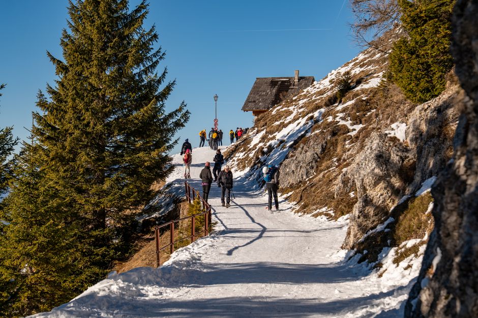
The most dangerous assumption is that southern Europe means dry, warm and simple. March can bring rain, cloud, wind and muddy steps, while mountain roads and island buses may run less often than in summer. A route that is safe at noon can feel entirely different after sunset, especially on a forest path with no settlement nearby.
Do not extend a walk because the map shows a nearby viewpoint, descend a steep trail in poor footwear after heavy rain, or rely on a phone battery that has already been drained by navigation and photographs. Also avoid point-to-point routes when the final transport has no realistic backup. The saving from a cheaper bus ticket is not worth an unplanned night walk.
For March, the best failure plan is conservative: turn around before the official halfway point if the weather worsens, keep one dry layer accessible, carry a headlamp even when you expect to finish in daylight, and tell someone the exact route and target return time. Trail status and the forecast matter more than a five-star review written in July.
Which route should you choose for your March trip?
Is Madeira PR6 the best choice for most readers?
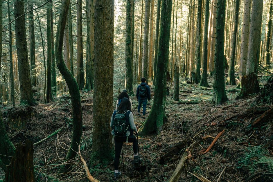
Yes. Choose PR6 if you want one clear destination, a moderate three-hour walk and a strong daylight buffer. Start at 10:00, reserve the required entry slot, pay the €4.50 2026 visitor fee, and treat 14:30 as the finish target rather than an optimistic suggestion. Do not choose it after heavy rain without checking the official status and local conditions.
When is Cinque Terre the better option?
Choose SVA2 when your trip is built around villages and train connections rather than a long mountain day. Start from Vernazza, allow three and a half hours for walking, pauses and the station, and confirm the route is open. The trail’s 217 metres of ascent are manageable for a fit walker but make it unsuitable for someone seeking an easy promenade.
Should you choose Mallorca or Tenerife instead?
Mallorca is the better lower-pressure alternative when you want a forest and mountain walk close to a village. The Esporles–Maristella–Fita del Ram option takes about two hours and is easier to shorten than a remote point-to-point stage. Tenerife’s Barranco Chacorche is short but steep, with 602 metres of ascent over 3.6 kilometres. Choose it only when you have arranged the return transport and your group is comfortable with sustained climbing.
What is the final recommendation?
This is not financial advice, and there is no APR to compare on a walking route; the relevant costs are access fees, transport and the price of getting a bad plan wrong. For a first March hiking day walk in Europe that must finish before dusk, choose Madeira PR6 Levada das 25 Fontes, book the official 2026 entry, start at 10:00, and aim to finish by 14:30. It offers the best balance of scenery, measurable timing and a practical daylight reserve.